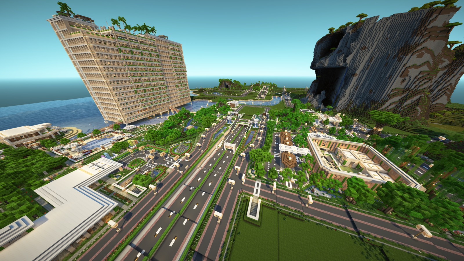
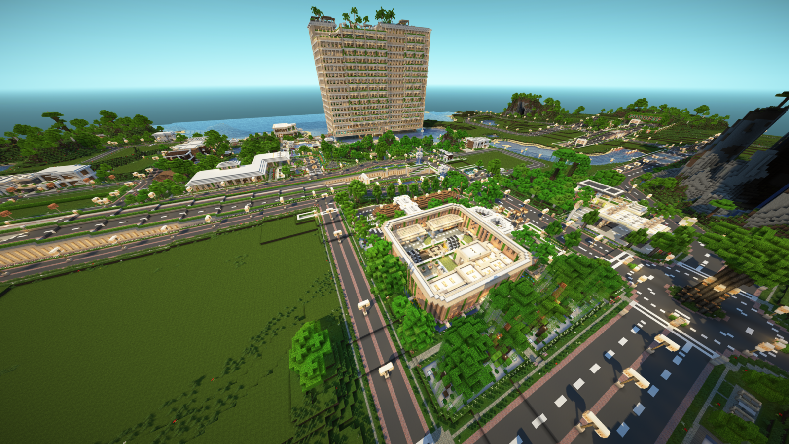
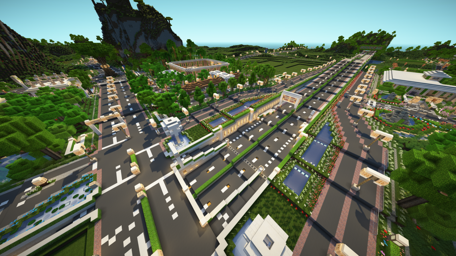
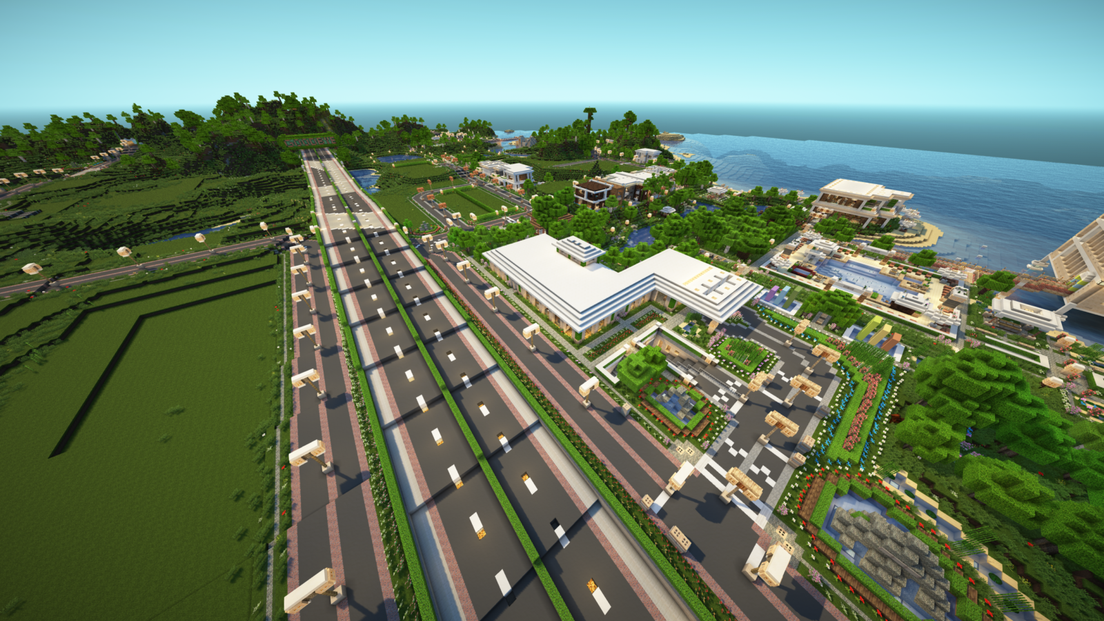
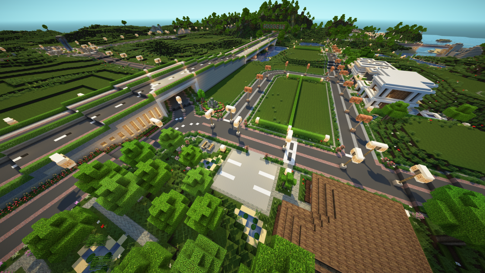
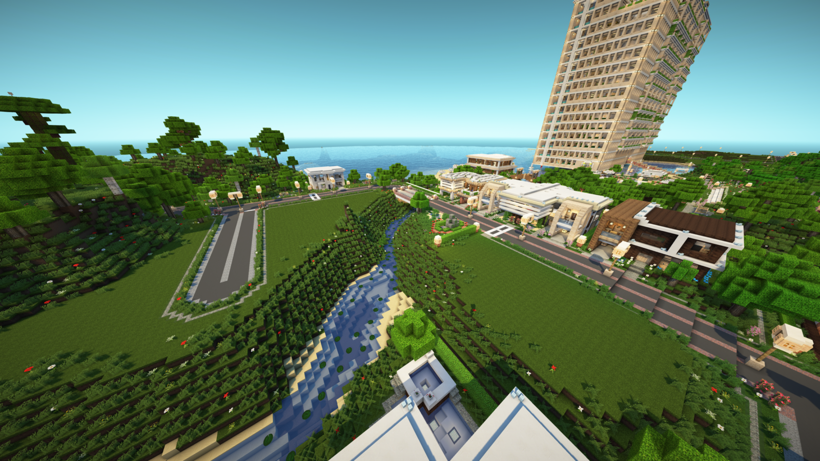
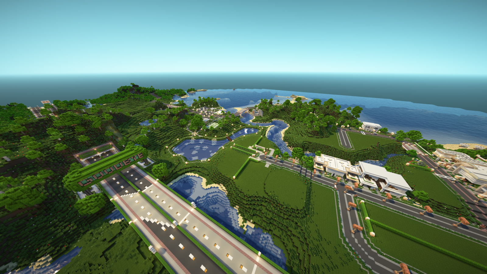
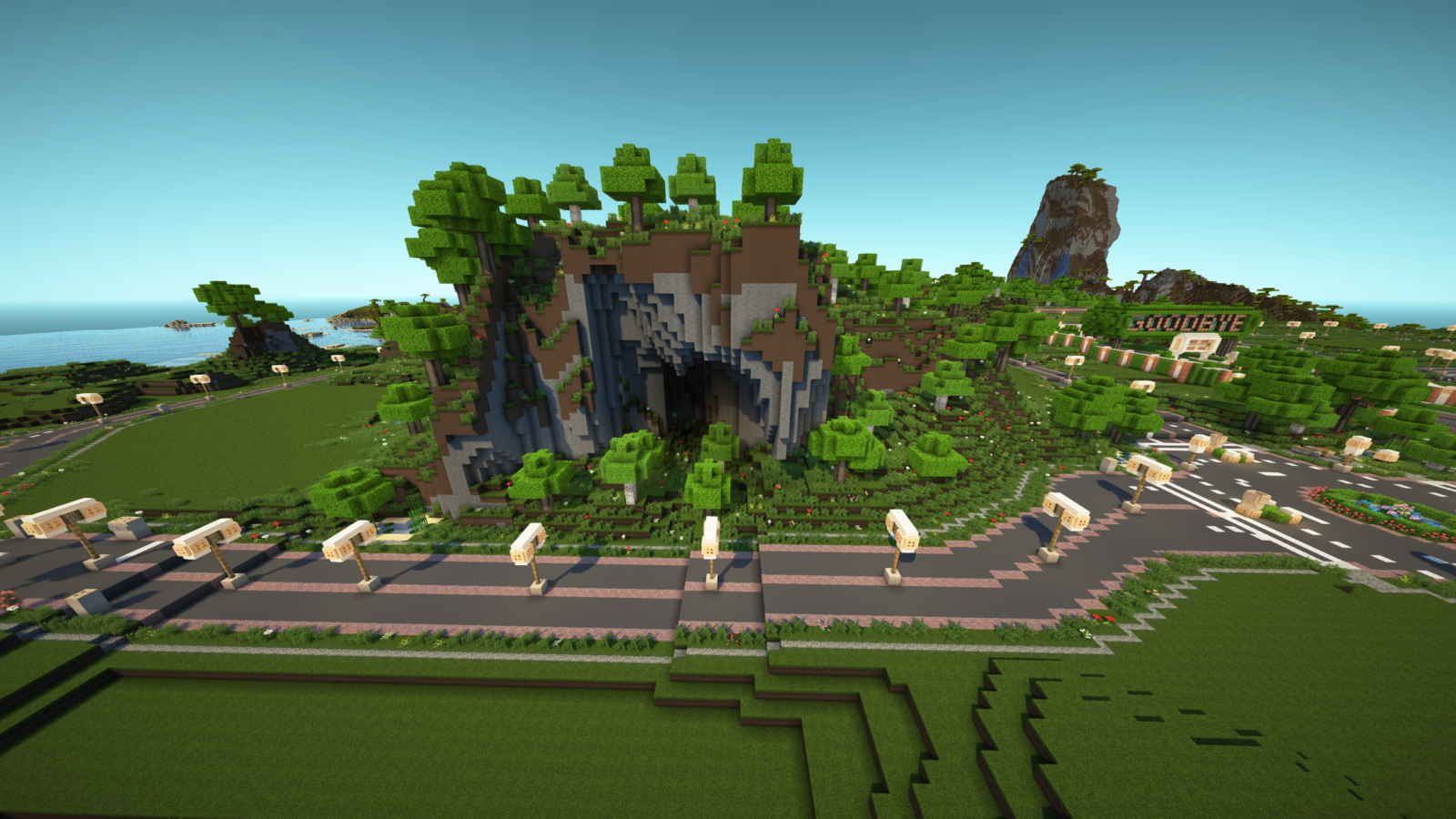
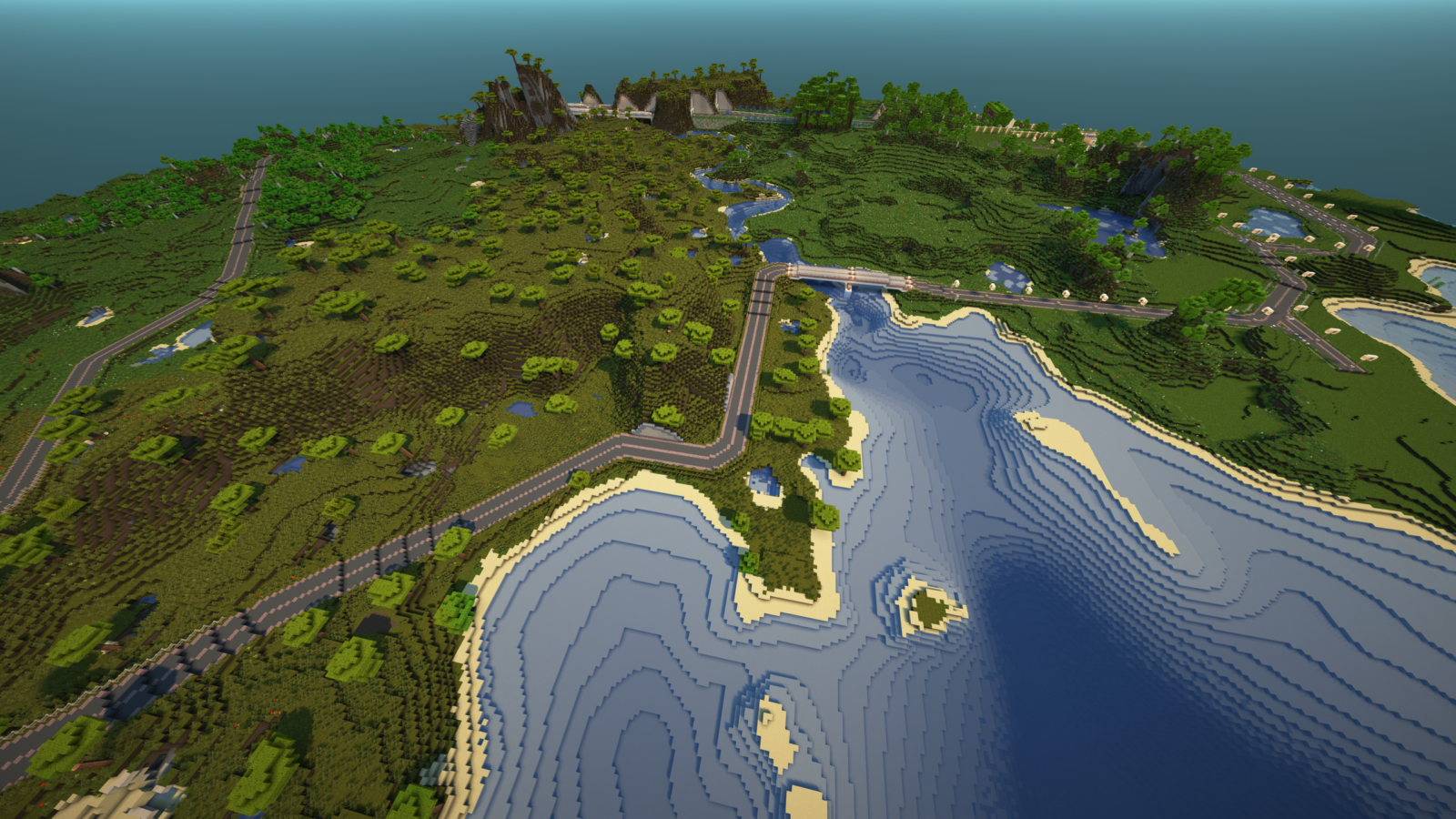
Around the hotel building and its surrounding grounds, there’s the surrounding town. Under the name “Sturpick”, it has a subtropical climate, with very warm summers but cool winters. Highway A14 crosses right through it (north to south), and Highway A3 starts from it and heads east inland. A train rail line also runs north to south (and to the east) through it, but it all goes under the town.
Let’s start by giving an overview of the town with the screenshots below:
Town Features
There are plenty of empty spaces to fill in, but there are still a ton of structures and areas to cover in each section below:
- Neighborhoods & Houses: Various houses with unique designs are scattered across two neighborhoods.
- Road Infrastructure: Includes road design, bridges, and tunnels. Each road entrance has a fancy and unique welcoming presentation.
- Train Station & Rails: Includes above-ground and underground areas, and rail design.
- Outskirts: Attractions, forestry, and roads surrounding the town core.
- Misc. Features: Includes the gas station, various structures, city planning, etc.
Last updated on December 1, 2024.
